Winter Storm Blair has swept into the mid-Atlantic with heavy snow, prompting winter storm warnings for millions after burying parts of the Plains in their heaviest snowfall in years over the weekend.
Latest Status On Blair
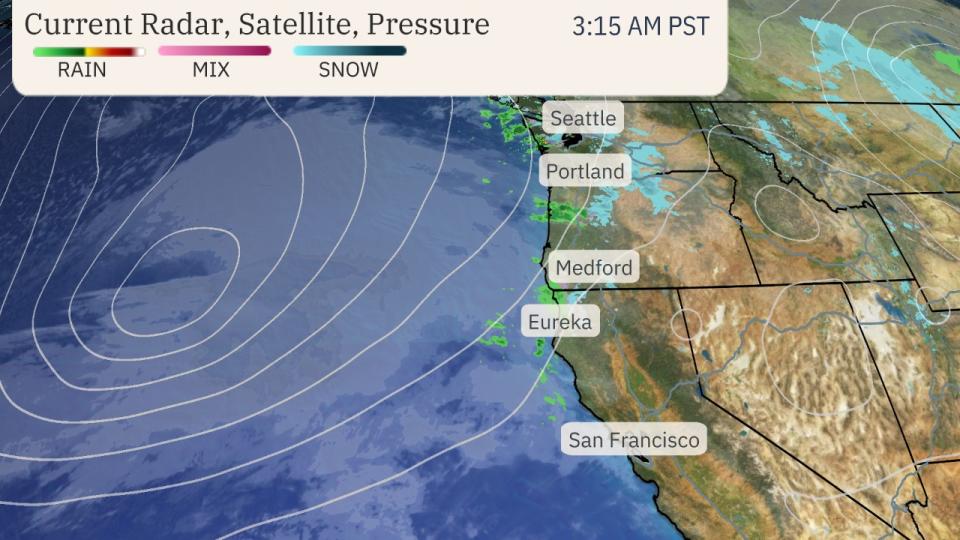
The winter storm is spreading snow and ice from the Ohio Valley to the mid-Atlantic this morning, as seen in the radar snapshot below.
Baltimore and Washington, D.C. have both reported moderate to heavy snow with visibility of a half mile or less at times early this morning.
Portions of the D.C. metro have seen 5 to 6 inches of snowfall, but the official total at Ronald Reagan Washington National airport was 4.7 inches as of 7 a.m. EST. Some sleet was beginning to mix in with the snow at that time.
Yesterday, Kansas City picked up 11 inches, making it the heaviest snowstorm there since February 1993. Topeka, Kansas, saw its fourth-largest two-day snowfall with a total of 14.1 inches.
The top storm total is 18 inches at thee locations in northeast Kansas.
See our live updates page at this link for full updates on the storm’s impacts.

Current Radar
Winter Weather Alerts
Winter storm warnings for snow and/or ice stretch from the mid-Mississippi and Ohio valleys to the mid-Atlantic. Those warnings include Baltimore, Cincinnati, Indianapolis, Louisville, Kentucky, and Washington, D.C.
In all of these areas, travel should be avoided until the storm has passed.
(MORE: Why Snowfall Forecast Sometimes Change)

Monday’s Forecast
Baltimore, Charleston, West Virginia, Cincinnati, Philadelphia, Pittsburgh, and Washington, D.C. are some of the locations that will have wintry travel conditions that prompt delays or closures. Travel should be avoided much of Monday.
Monday night, wintry weather should eventually taper off from west to east, but leftover snow and ice on the ground could affect travel in some areas Tuesday morning.
(15-min details: For even more granular weather data tracking in your area, view your 15-minute details forecast in our Premium Pro experience.)

Monday’s Forecast
The forecast map below shows how much additional snow to expect from Blair on top of what has already fallen.
Portions of the mid-Atlantic can expect 5 or more inches of snowfall. A few additional inches might pile up as far west as the Ohio Valley.
Storm totals in the Baltimore and Washington, D.C. areas should wind up between 5 to 10 inches, with locally higher amounts up to a foot possible.

Snowfall Forecast
Recap Of Blair
The cyclone that became Winter Storm Blair arrived in the Pacific Northwest late in the day on Friday, January 3, where it brought fresh snow to the Cascades and Sierra before moving inland and southeastward through the Rockies the following day.
Before the storm departed, it dropped more than 20 inches of fresh snow in the Wasatch Front in Utah. This was enough that avalanche crews triggered avalanches to protect people from further uncontrolled slides.
The storm matured and strengthened as it reached the Plains on January 4th. Flurries and drizzled picked up late in the day across Kansas and Missouri.
Freezing rain slowed travel in parts of Kansas and Missouri, including the Wichita and Kansas City metro areas where frozen roads caused crashes and slideoffs.
The Kansas City airport was temporarily closed late Saturday and parts of Interstate 70 were closed Saturday afternoon.
Thunder accompanied a mix of freezing rain, sleet and snow in central Kansas early Sunday, including Wichita.
Snow, freezing rain, and sleet stretched eastward to the Ohio Valley on Sunday, January 5, snarling plans and coating everything in Louisville, Cincinnati and Indianapolis.
The storm’s messy precipitation led to interstate closures in Kentucky, including I-64 and I-75, and knocked out power to nearly 100,000 customers from Missouri to Kentucky. A portion of Interstate 70 was also closed in southern Illinois.
Blizzard criteria was reached in Topeka, Salina, Dodge City, Russell, and Gardner, Kansas; and in St. Joseph, Missouri. Kansas City experienced near-blizzard conditions.