New Yorkers might be seeing some snowflakes on Monday, but southern New Jersey is about to get socked by a major storm moving east from the central states.
The Big Apple could see 1 to 3 inches of snow, while the southern part of the Garden State is facing 5 to 8 inches.

“Southern New Jersey should be in the thick of it by Monday morning. People going to work will be seeing snowflakes,” Fox Weather meteorologist Cody Braud told The Post Saturday. “But I don’t think they will be dealing with any accumulating snow until the midday and afternoon hours.”
Starting late Sunday night, the storm will hit cities further south like Washington D.C. and Baltimore, and then “will slowly keep nudging north and east hour by hour,” Braud said.
“As you get further south of the mid-Atlantic, that’s where the bigger snow totals are going to be,” he predicted.
“In New York City, Long Island and northern New Jersey, we are on that fine line, where we can see anything from nothing, to a coating of snow, to potentially that 1 to 3 inches,” Braud added.
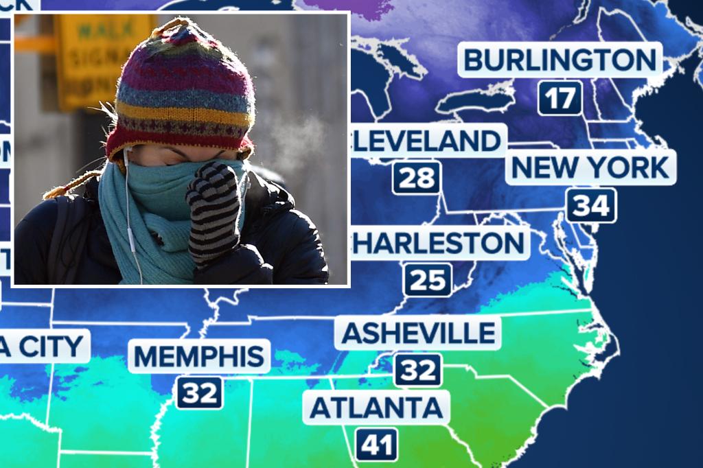
Temperatures will be in the mid- to upper-20s at night, with the wind chill potentially making it feel like 20. Highs in the region are expected to remain right around the freezing line for the next few days.

The snow could end as early as the midday hours, or may stay “all day and into the overnight hours into Tuesday,” he said.
A different storm in Upstate New York, meanwhile, is expected to bring up to 16 inches of “lake effect” snow overnight Saturday into midday Sunday to the Syracuse and Utica areas, the National Weather Service said.
New York Post


